
NOAA: Final Round Of Incoming Wintry Precipitation
Winter weather advisory remains in effect until 6 pm cst this evening...
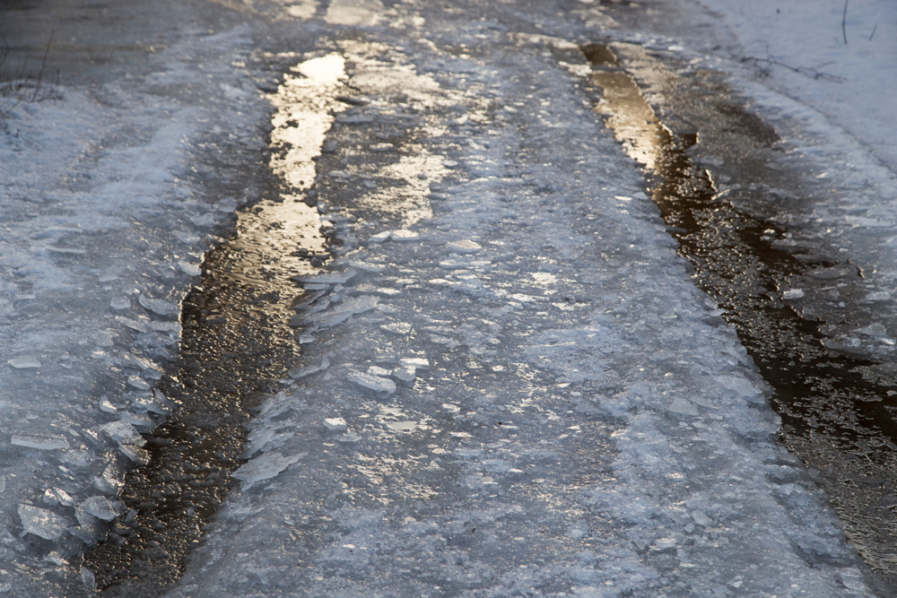
Until 6 PM CST Thursday a final upper level disturbance is producing a wintry mix of freezing rain, sleet, and graupel early this morning. A change over to snow is forecast to take place west to east through the morning.
The heaviest snow is forecast across the northern Rio Grande, southern Edwards Plateau, and western Hill Country. Very difficult driving conditions are expected across this region today and travel is highly discouraged.
This includes the following counties… LLANO — BURNET — WILLIAMSON — HAYS — TRAVIS — BASTROP — LEE — CALDWELL — FAYETTE — KARNES — GONZALES — DE WITT — LAVACA
Which includes the following cities… LLANO, BURNET, GEORGETOWN, SAN MARCOS, AUSTIN, BASTROP, GIDDINGS, LOCKHART, LA GRANGE, KARNES CITY, GONZALES, CUERO, and HALLETTSVILLE
Mixed precipitation. Snow accumulations of a light dusting to up to 1 inch and ice accumulations of a light glaze. Along and northeast of Llano to San Marcos to Hallettsville line.
Travel could be hazardous in some spots. Slow down and use caution while traveling. The latest road conditions for the state can be obtained at drivetexas.org.


