
Proposal in Texas House would give special committee oversight of governor’s pandemic orders
The provision is expected to be added to a bill addressing the governor's pandemic powers that has been denoted as a priority by House Speaker Dade Phelan, according to a draft obtained by The Texas Tribune.
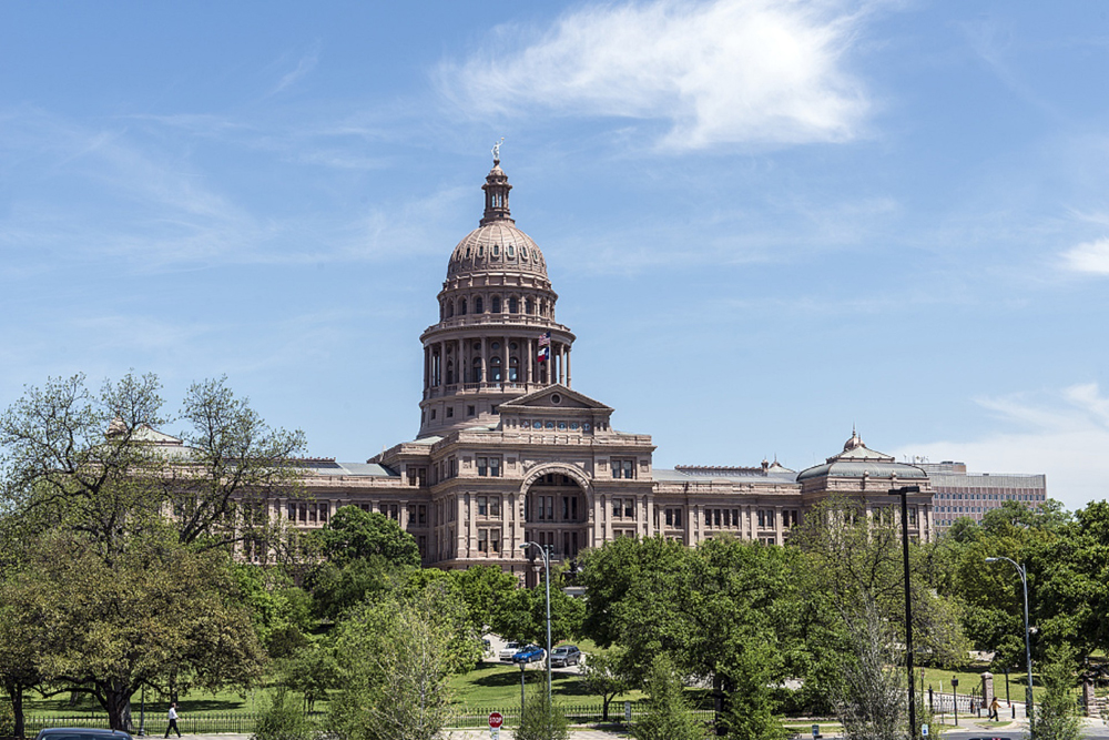
A powerful Texas House committee on Thursday is set to consider one of Speaker Dade Phelan’s top legislative priorities this session: a bill that would address the governor’s emergency powers during a pandemic.
But before the House State Affairs Committee convenes, a number of major changes are being prepared for the legislation, including the creation of a legislative oversight committee that in some cases would have the authority to terminate a pandemic disaster declaration issued by the governor.
That 10-member entity, known as the “Pandemic Disaster Legislative Oversight Committee,” would consist of the lieutenant governor, House speaker, and certain committee chairs from both chambers, according to a draft version of the new House Bill 3 obtained by The Texas Tribune.
If the Legislature was not in session, the committee could review or terminate a declaration that’s been in effect for more than 30 days or eliminate specific provisions, orders, or rules tied to the declaration.
The creation of the oversight committee could represent a major new check on the governor’s powers during a pandemic, which Democrats and some Republicans have criticized over the past year throughout the coronavirus pandemic.
Currently, Gov. Greg Abbott has unilateral authority to issue mask orders, shut down restaurants and other businesses, and waive certain regulations.
State Rep. Dustin Burrows, a Lubbock Republican and top lieutenant of Phelan, a Beaumont Republican, is carrying the legislation. He did not immediately respond to a request for comment.

Members from both parties have expressed interest in reforming the governor’s executive authority — a conversation Abbott himself has recently said he’s open to having with lawmakers.
Throughout the pandemic, Abbott has issued statewide guidelines under the Texas Disaster Act of 1975, which some have argued has not been a perfect fit for circumstances brought on by the unprecedented public health crisis.
Abbott’s office did not immediately return a request for comment Tuesday.
House Bill 3 aims to carve out future pandemics from how the state responds to other disasters, such as hurricanes.
The legislation, which Phelan has called “the House’s blueprint for pandemic response,” would affirm the governor’s ability to suspend state laws during a pandemic and allow for the preemption of local orders issued by county judges or mayors if they’re inconsistent with state orders, among other things.
The most recent version of House Bill 3 has also stripped language that some in the education community had characterized as a school voucher program, which would allow parents to use public funds for private education.
The provision previously in the legislation would have required public school districts not offering in-person instruction full time to pay for their students to attend off-campus learning programs.
House Bill 3 still contains a provision that would require local jurisdictions to get approval from the secretary of state before altering voting procedures.
The bill also still has language that would affirm existing protections for places of worship remaining open during a pandemic and for the sale or transportation of firearms and ammunition — two issues that were debated over the past year amid businesses across the state closing due to stay-at-home orders.
The updated version of House Bill 3 is also the latest reminder that the two chambers so far appear to be taking different approaches on addressing the governor’s emergency powers during a disaster.
While there are broad areas of agreement on issues such as protecting businesses from certain lawsuits related to the coronavirus, the Senate has not yet filed an upper chamber companion to House Bill 3, and it’s unclear if any senator has plans to do so.
Lt. Gov. Dan Patrick, who heads the Senate, has included several pandemic-related proposals as part of his 31 legislative priorities for the regular session, such as legislation related to first responders and family nursing home visitation rights.
And last week, state Sen. Brian Birdwell, R-Granbury, filed two measures that would, as his office described in a news release, “rebalance powers in times of emergency and disaster.”
Birdwell’s legislation as filed would require the governor to convene a special session to extend a disaster declaration past 30 days if a disaster impacts half of the state’s population, two-fifths of the state’s counties or two-thirds of the state’s counties in three or more hospital trauma service regions.
Fourteen other senators, including three Democrats, have signed on to the two Birdwell measures, Senate Joint Resolution 45 and Senate Bill 1025.
The House State Affairs Committee is scheduled to consider House Bill 3 during a hearing Thursday morning.
This story originally published by the Texas Tribune.


