
Hazardous weather, flash flood watch in effect for Hays County, Central Texas
The National Weather Service for Austin and San Antonio has issued a Flash Flood Watch and a Hazardous Weather outlook for Central Texas including the following counties and cities through Thursday evening.
COUNTIES
Llano-Burnet-Williamson-Val Verde-Edwards-Real-Kerr-Bandera-Gillespie-Kendall-Blanco-Hays-Travis-Bastrop-Lee-Kinney-Uvalde-Medina-Bexar-Comal-Guadalupe-Caldwell-Fayette-Maverick-Zavala-Frio-Atascosa-Wilson-Karnes-Gonzales-De Witt-Lavaca-Dimmit-
CITIES
Including the cities of Georgetown, Boerne, Llano, Blanco, Burnet, Fredericksburg, Pleasanton, San Marcos, New Braunfels, Austin, and San Antonio
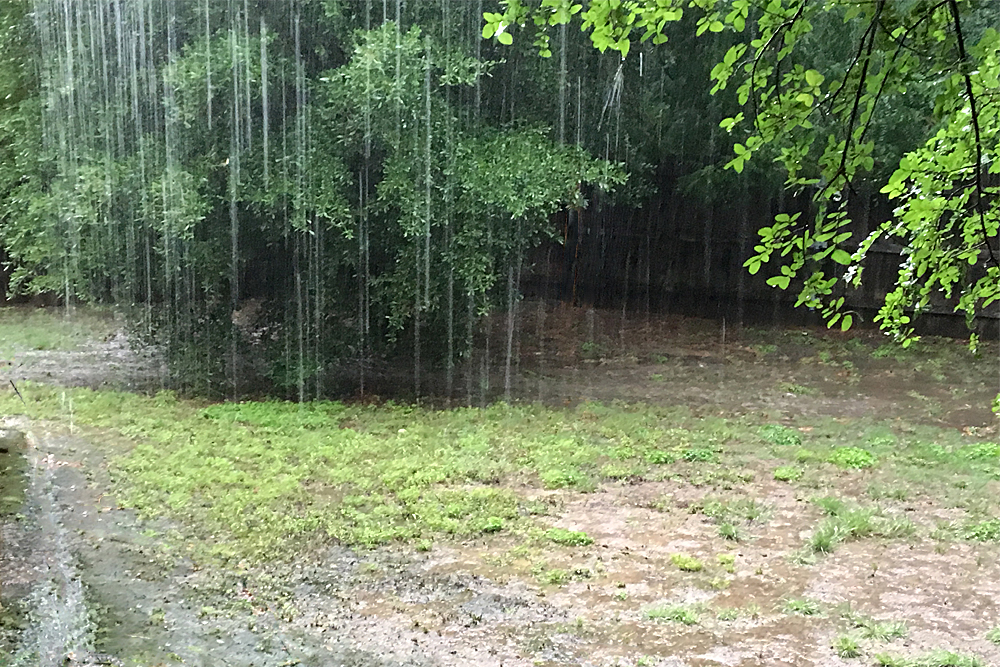
Rainfall amounts of 2 to 5 inches with isolated amounts of 5 to 7 inches are possible. This could lead to Flash Flooding. The main event will arrive Wednesday night into Thursday but there will be some risk as early as midday Wednesday.
DAY ONE…Today And Tonight
Scattered showers and thunderstorms will continue Wednesday.
The main event is currently forecast to arrive Wednesday evening and continue into Thursday morning. There is a moderate risk for excessive rainfall leading to flash flooding during this time along and west of the I-35 corridor.
An axis of 3-5 inches of rainfall is currently forecast across the Hill Country and southern Edwards Plateau, with isolated higher amounts up to 7 inches. 1-4 inches of rainfall is forecast along the Rio Grande and I-35 corridor.
A Flash Flood Watch is in effect roughly along and west of the I-35 corridor. Rainfall amounts of less than 1 inch are forecasted east of the watch area.

In addition, there is a very low but nonzero risk for a tornado or perhaps some damaging winds late Wednesday afternoon through Wednesday night, mainly over the western half of our region.
DAYS TWO THROUGH SEVEN
Thursday through Tuesday
Scattered showers and thunderstorms will continue into Thursday morning with the possibility of heavy rainfall leading to Flash Flooding.
Activity will be impacting areas of the I-35 corridor and points eastward through the morning hours. Rainfall should end west to east across the area by the afternoon hours Thursday.


