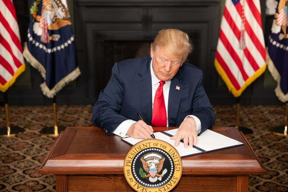
President Trump Signs Defense Production Act To Keep Meat And Poultry Processors Open
Yesterday, President Trump signed a new executive order enacting the U.S. Defense Production Act to keep meat and poultry processing plants open during the COVID-19 national emergency.
“I thank President Trump for signing this executive order and recognizing the importance of keeping our food supply chain safe, secure, and plentiful. Our nation’s meat and poultry processing facilities play an integral role in the continuity of our food supply chain,” said Secretary Perdue. “Maintaining the health and safety of these heroic employees in order to ensure that these critical facilities can continue operating is paramount. I also want to thank the companies who are doing their best to keep their workforce safe as well as keeping our food supply sustained. USDA will continue to work with its partners across the federal government to ensure employee safety to maintain this essential industry.”
The Act contains three major sections
According to Wikipedia, the first section authorizes the president to require businesses to accept and prioritize contracts for materials deemed necessary for national defense, regardless of a loss incurred on business. The law also allows the president to designate materials to be prohibited from hoarding or price gouging.[2]
The law does not state what would occur if the business refuses or is unable to complete the request on time. However, any person who performs any act prohibited or willfully fails to perform any act required by the Defense Production Act may be charged with a felony that results in a fine up to $10,000 or imprisoned for up to one year or both.[3][4]
The second section authorizes the president to establish mechanisms (such as regulations, orders, or agencies) to allocate materials, services, and facilities to promote national defense.
The third section authorizes the president to control the civilian economy so that scarce and critical materials necessary to the national defense effort are available for defense needs.[5][6][7]
The Act also authorizes the President to requisition property, force industry to expand production and the supply of basic resources, impose wage and price controls, settle labor disputes, control consumer and real estate credit, establish contractual priorities, and allocate raw materials towards national defense.[5]
The president’s designation of products under the jurisdiction of the DPA is the authority of the Act most often used by the Department of Defense (DOD) since the 1970s. Most of the other functions of the Act are administered by the Office of Strategic Industries and Economic Security (SIES) in the Bureau of Industry and Security in the Department of Commerce.[8]
The Centers for Disease Control and Prevention (CDC) of the Department of Health and Human Services and the Occupational Safety and Health Administration (OSHA) of the Department of Labor have put out guidance for plants to implement to help ensure employee safety to reopen plants or to continue to operate those still open.
Under the Executive Order and the authority of the Defense Production Act, USDA will work with meat processing to affirm they will operate in accordance with the CDC and OSHA guidelines and then work with state and local officials to ensure that these plants are allowed to operate to produce the meat protein that Americans need.
USDA will continue to work with the CDC, OSHA, FDA, and state and local officials to ensure that facilities implementing this guidance to keep employees safe can continue operating.
Source: Wikipedia


