San Marcos Planning And Zoning Approves Qualified Watershed Protection Plan, Final Plat For Katerra
By, Terra Rivers, Managing Editor
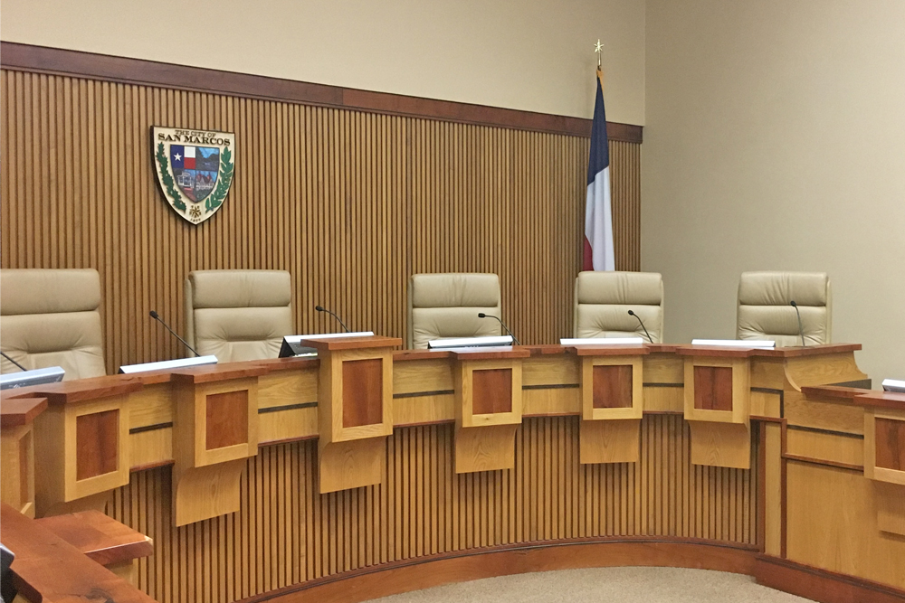
On Tuesday, the San Marcos Planning and Zoning Commission voted unanimously to approve the Qualified Watershed Protection Plan Phase 2 and the final plat for the Katerra project off of Hwy 80.
The subject property is the first lot of the San Marcos Air, Rail and Truck Terminal to begin construction since the zoning change and 380 agreement’s approval.
The Qualified Watershed Protection Plan is required due to the property “reclaiming water quality and buffer zones.”
The proposed project meets the requirements of the Environmental Chapter of the Land Development Code. The proposed Water Quality BMP will remove 70 percent of the increased TSS and captures 1.25-inches of rain that is to be released over a period of 48-hours.
The proposed channel will divert the water around the structure, which will be located where the original waterway existed, down toward Hwy 80.
Dianne Wassenich, executive director of San Marcos River Foundation, addressed commissioners during the public hearing.
Wassenich did not speak in opposition of the project, but she asked questions relating to the water channel’s design, the soil composition and how the site will address higher rain volumes.
According to Chris Chaffee, an engineer with Pape-Dawson Engineer and the applicant on behalf of Katerra, the wider portion of the channel running along the side of the site will have a bottom width of 5 feet to 30 feet with sloped sides; while the bottom will be concreted, the side will remain earthen and exposed to allow for saturation.
The site will also have a detention pond designed to 100-year flood event standards, which will capture water and release it at the same rate it would if the area were still undeveloped.
Commissioners acknowledged their lack of knowledge on engineering and watershed quality designs when it came to items such as this.
However, staff said that the plan did meet the requirements of the Flood Damage Prevention Ordinance and “adequately mitigates for impacts to water quality and buffer zones.”
“Of course, we’re going to have a lot more questions about anything actually done in the 100-year flood plain,” Commissioner Mark Gleeson said. “This is a really small channel, and…I’m hopefully that what the engineers have done here is actually going to be helpful.”
Currently, the property is undeveloped and utilized for crops on a year basis. Residents have reported that the entire SMART Terminal property has flooded on multiple occasions in the past in its current state.
The detention pond will hold 1.25-inches of rainfall for 12 hours to allow containments and potential debris to settle to the bottom and released it over 48-hours.
Chaffee said he believed under light industrial zoning the company was allowed 80 percent impervious coverage; however, the design of the Katerra project, at full buildout, will only reach 65 percent impervious cover.
Commissioners ultimately approved the Qualified WPP2 unanimously.
Commissioners also considered the approval of a final plat for approximately 81.33 acres for the Katerra project, which includes two new streets, according to the agenda. The plat includes the channel to direct water from the property down to the Hwy 80.
A motion to approve the plat passed unanimously.
Staff said the plat was not put on the consent agenda due to the requirement of the Qualified Watershed Protection Plan Phase 2 needing to be approved first.


