
Public Invited To Appeal Or Comment On Flood Maps For Caldwell, Gonzales, Guadalupe, And Hays Counties
New preliminary flood risk information and updated Flood Insurance Rate Maps (FIRM) will be available for review by San Marcos residents and business owners…
![]()
New preliminary flood risk information and updated Flood Insurance Rate Maps (FIRM) will be available for review by San Marcos residents and business owners beginning Jan. 25. Individuals may view preliminary maps online at www.fema.gov/preliminaryfloodhazarddata or by visiting the Engineering & Capital Improvements office on the second floor of the Municipal Building, 630 E Hopkins St.
“The City encourages property owners to review the latest FEMA information to learn about local flood risks and potential future flood insurance requirements,” said Laurie Moyer, Director of Engineering & Capital Improvements. “This review period allows stakeholders to identify any concerns or questions about the information provided and to participate in appeal and comment periods for the maps.”
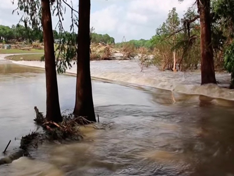
The new flood risk information and FIRM resulted from a long-term flood study led by a team of local community, State, Federal Emergency Management Agency (FEMA), and U.S. Army Corps of Engineers officials.
Significant community review has already taken place, including Flood Risk Open Houses in August 2017 where residents and business owners in the affected counties were able to learn more about the new preliminary flood risk information and view the maps.
The detailed digital maps show current flood hazards for communities within portions of the San Marcos and Austin-Travis Lakes Watersheds and replace flood maps that are based on outdated studies and technology.
The maps provide more precise flood hazard information for those areas, including places affected by the devastating Memorial Day 2015 floods and five other major floods since 2000.

The deadline for submitting appeals or comments is April 24. If property owners see incorrect information that does not change the flood hazard information—such as a missing or misspelled road name or an incorrect corporate boundary—they can submit a written comment.
They can submit an appeal if they perceive that modeling or data used to create the map is technically or scientifically incorrect. An appeal must include technical information, such as hydraulic or hydrologic data, to support the claim.
Appeals for property within San Marcos city limits and its extraterritorial jurisdiction (ETJ) must be submitted through the City Engineering & Capital Improvements Department.
In addition to viewing the preliminary maps at their local floodplain administrator’s office, residents and business owners may:
- View the preliminary flood maps online
° FEMA: www.fema.gov/preliminaryfloodhazarddata
° City webpage: www.sanmarcostx.gov/floodplain
- Use a live chat service about flood maps at go.usa.gov/r6C (just click on the “Live Chat” icon)
- Contact a FEMA Map Specialist by telephone, toll free, at 1-877-FEMA-MAP (1-877-336-2627) or by email at FEMAMapSpecialist@riskmapcds.com.
The next step in the mapping process is the resolution of all comments and appeals. Once they are resolved, FEMA will notify communities of the effective date of the final maps, which are expected to be complete in spring 2019.
For more information, contact the City Engineering & Capital Improvements Department at 512.393.8130 or EngInfo@sanmarcostx.gov.


