
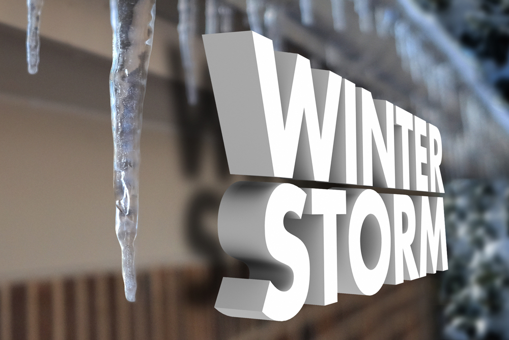
Just What We Needed….Another Winter Storm Warning
The Winter Storm Warning is valid from 6 PM Tuesday evening to 6 AM CST Thursday
National Weather Service for Austin and San Antonio issued a new winter storm warning for South Central Texas at 3:42 PM CST Tue Feb 16 2021, for the following counties…
Llano — Burnet — Williamson — Val Verde — Edwards — Real — Kerr — Bandera — Gillespie — Kendall — Blanco — Hays — Travis — Bastrop — Lee — Kinney — Uvalde — Medina — Bexar — Comal — Guadalupe — Caldwell — Fayette — Maverick — Zavala — Frio — Atascosa — Wilson — Karnes — Gonzales — De Witt — Lavaca — Dimmit
This Afternoon And Tonight
A Winter Storm Warning goes into effect at 6 pm this evening through tonight for most of South Central Texas for primarily freezing rain and some areas of sleet.
Across western portions of South Central Texas where winter precipitation should be lighter, a Winter Weather Advisory is in effect from 6 pm this evening through tonight.
Travel will remain difficult tonight as ice and snow persist on some roads and water on other roads refreezes tonight. Scattered power outages are also occurring.
DAYS TWO THROUGH SEVEN…Wednesday through Monday
Winter Storm Warnings and Winter Weather Advisories remain in effect across South Central Texas through early Thursday morning.
The first of two rounds of winter type precipitation continues into Wednesday morning, and the second round of winter weather is expected Wednesday night into Thursday.
Additional ice accumulations from the first round tonight into Wednesday morning will be in the 1/10 to 1/4 range across the warned area with lighter amounts below 5 hundredths of an inch possible in the advisory area.

The freezing rain expected through Wednesday will bring a new accumulation of ice on roads, especially on roads that continue to have ice from earlier systems.
Light additional accumulations of ice and snow will be possible from the second disturbance Wednesday night and Thursday.


The past year is fundamentally about a failure to understand and manage risk. There are two components of risk, probability and impact. You can matrix them so that you have low impact x low probability (ignore), low impact x high probability (mitigate), high impact x low probability (hedge), and high impact x high probability (focus). Black Swans are far more common than commonly believed.
Rona was a hedge, and we should have found ways to help the most vulnerable while allowing the rest of us to continue on our day-to-day lives. Thus freeing up the economy and building reserves in prep for the next event. Energy should have been a focus area. Texas does get cold. It just doesn’t happen often. As rare as the even may be, overtime it becomes a certainty. We had at least a week’s warning on this. That was time to coordinate resources… if we had the resources necessary to coordinate with ($$$$). The first was a distraction that reduced our capacity to respond to the second.
So, now what? All that ice is weighing down trees. Branches are going to start snapping. Power is going to go out for some. Prepare now. Heat your houses and fill your tubs. Both service are being threatened for the long-term. Get ready now.