Strong to severe weather heading into the Texas Hill Country
Staff
The National Weather Service Austin and San Antonio TX are forecasting a hazardous weather outlook is for South-Central Texas in the following counties;
Llano – Burnet – Williamson – Val Verde – Edwards – Real – Kerr – Bandera – Gillespie – Kendall – Blanco – Hays – Travis – Bastrop – Lee – Kinney – Uvalde – Medina – Bexar – Comal – Guadalupe – Caldwell – Fayette – Maverick – Zavala – Frio – Atascosa – Wilson – Karnes – Gonzales – De Witt – Lavaca – Dimmit
DAY ONE…Today and Tonight
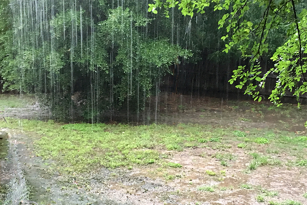
Strong to severe thunderstorms are expected to form over the Rio Grande Plains this evening and move eastward. Large hail and damaging winds are the primary hazards.
An isolated tornado cannot be ruled out west of a Rocksprings to Eagle Pass line this evening. Locally heavy rainfall that could lead to flash flooding is also possible.
DAYS TWO THROUGH SEVEN…Tuesday through Sunday
Several rounds of showers and thunderstorms are possible this week. Thunderstorms could be strong to severe at times. Locally heavy rainfall and flooding are also of concern, especially Tuesday and Wednesday, with a flash flooding threat increasing for areas along and east of the I-35 corridor.


